


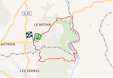

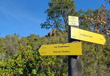
13.3 km | 18.3 km-effort

User


FREE GPS app for hiking
 SityTrail
IGN / Geographical institutes
SityTrail World
The world is yours!
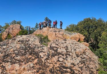
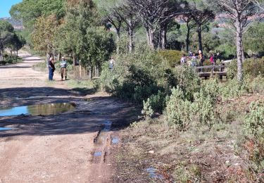
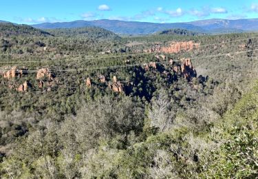
Trail Walking of 8.8 km to be discovered at Provence-Alpes-Côte d'Azur, Var, La Motte. This trail is proposed by Sugg.
balade des Amis et pic nic au bord du lac de l'Endre


Walking

Walking
Walking
Walking

Walking
Walking
Walking
Walking

Walking